Mission guide
Mission's Neighborhoods, Explained
Mission is not one town but six: the old town on the flats, two hillside neighborhoods, the river benches at Steelhead, the hydro country up the Stave, and farm country out at Durieu. A practical tour of how the District is laid out, from the editor who has walked all of it.

Written by Carla Jensen
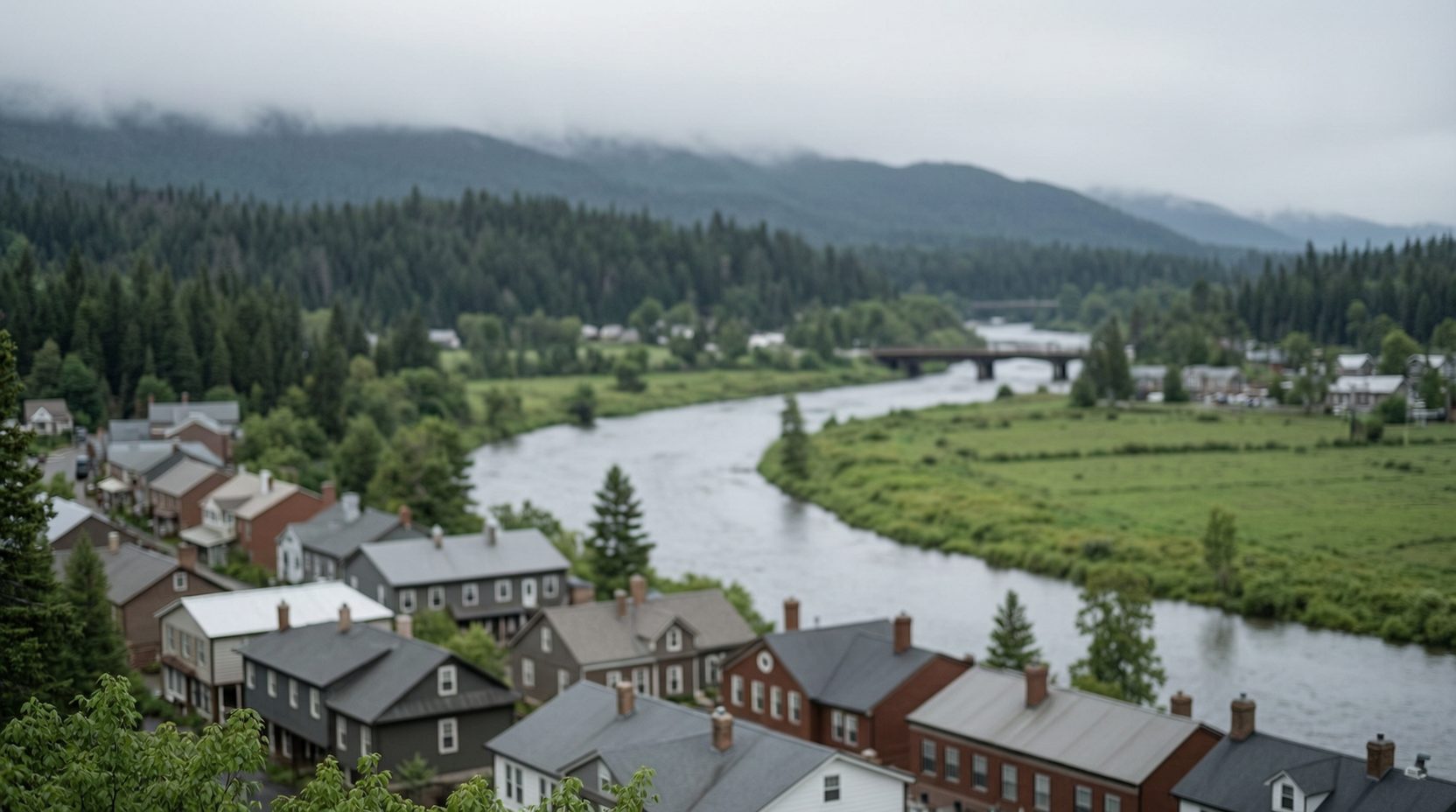
Mission is easy to misread from the highway. Most people see the stretch of the Lougheed between the Mission Bridge and the hill and assume that is the whole town. It is not even half of it. The District climbs from the Fraser River up through the berry flats and the old town blocks, and then keeps climbing into forested foothills that take up most of its land. Roughly forty-one thousand five hundred people live in the whole patch, and they do not all live the same way. To use this directory well, it helps to know the six names we organize it by: Mission City, Cedar Valley, Silverhill, Steelhead, Stave Falls and Durieu.
Start with Mission City, the old town core below the hill. This is where the town grew up around the railway, where First Avenue and North Railway Avenue still carry the storefronts, and where the West Coast Express ends its run at Mission City station. The Mission Museum keeps the town's memory on Second Avenue, and The Penny pours the downtown coffee. When a local says they are going to town, this is the town they mean.
The name goes back further than the town. St. Mary's Mission, the Oblate mission founded by Father Leon Fouquet in 1861, gave the settlement its name, and the mission itself moved uphill in 1882 to make room for the Canadian Pacific Railway. The district municipality was incorporated in 1892, the village that grew into the Town of Mission City split off in 1922, and the two halves voted themselves back together in 1969. Locals still use the old names out of habit, and so does this directory.
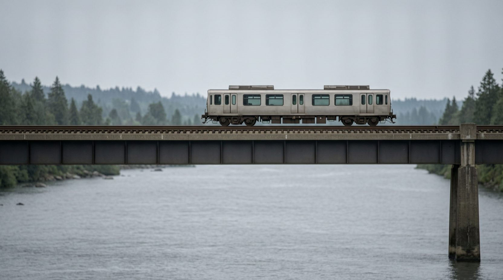
The river is the fourth wall of the room. The Fraser runs along the south side of town, and the Mission Bridge carries the highway across it toward Abbotsford, which is why the commute and the berry trucks all know the same span. Below the old town's slope there is a riverfront park where the water moves slow and wide, and on summer evenings half the town seems to end up there, watching the river the way people elsewhere watch television.
West of the old town the land climbs, and Cedar Valley is where it starts. The neighborhood rides the slope along Cedar Street: acreages and family homes, farm gates in season, and the Husky stop doing quiet social work for everyone up the hill. Cedar Valley people learn early which errands can wait for a trip into town and which ones cannot, and they plan their weeks around the answer.
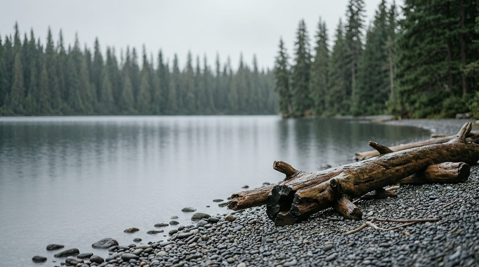
Above the west edge of town sits Silverhill, where the subdivisions meet the forest and the views open out over the Fraser flats. It is the quietest version of Mission living: streets that end at trees, and the lights of the valley below after dark. Down on the west edge, the Mission Springs Brewing taproom on Oliver Street is the nearest thing the hillside has to a local pub, which is a fair arrangement for everyone involved.
North of town, the benchland along the Stave River is Steelhead. Dewdney Trunk Road, one of the oldest routes in the Fraser Valley, passes through on its way up the valley, and the neighborhood answers to both directions: acreages, trades yards and long-established families, with one foot in town and one in the country. If your Mission involves trucks, horses or firewood, Steelhead is probably where your friends live.
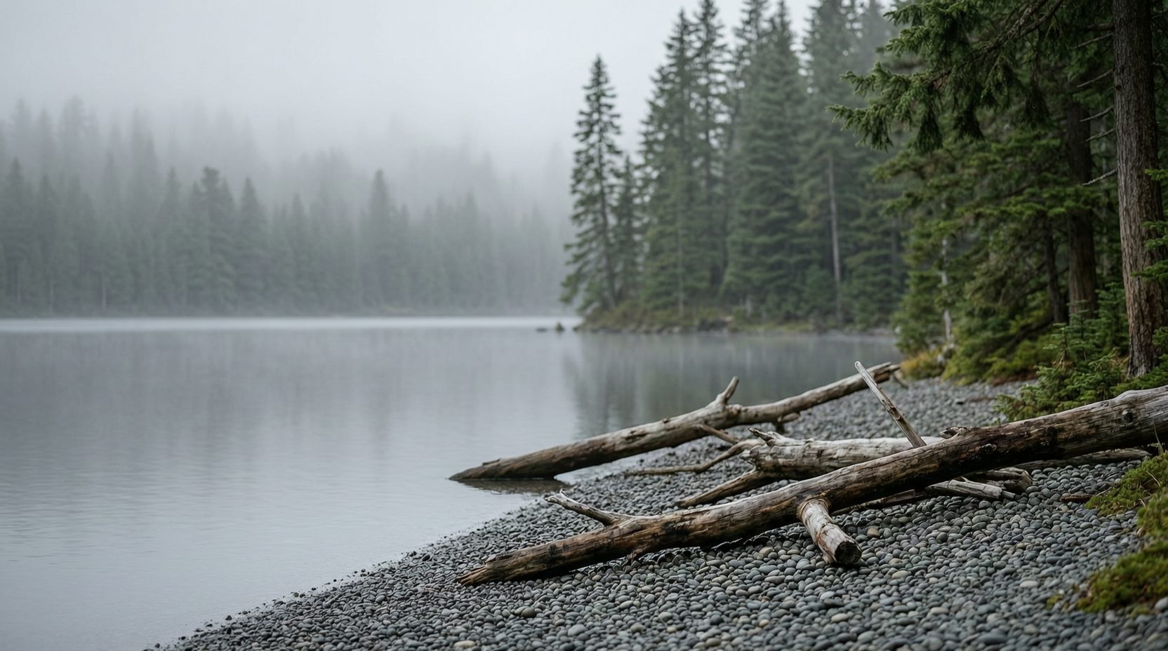
Follow the valley further and you reach Stave Falls, the hydro town built around the falls of the Stave River. The old powerhouse now serves as BC Hydro's visitor centre, and behind it the reservoir country begins: Hayward Lake just below the dam, and Stave Lake stretching twenty kilometres north between forested slopes. This is where Mission goes to swim, boat, fish and camp, and the Powerhouse at Stave Falls Visitor Centre is the front door to all of it.
The last name points the other way. Durieu sits in the Hatzic Valley about five kilometres northeast of town: farm country on the flats and benches, with stands at the gate in berry season and Dewdney Peak hanging over the whole picture. The fields here are part of the same berry story that once had Mission calling itself the home of the big red strawberry, and they still do the same work every summer.
Every listing in this directory sits against one of those six names, and every one of them is checked by hand before it goes live. The flats, the hillside and the old town along the Fraser each keep their own businesses, and the map between them is worth keeping straight. Pick your corner of Mission and start there. The rest of the town will follow.
From the directory
Mentioned in this article
Every place named above has its own page here, with the address, the hours and the nearest station.

Mission Museum
Mission Museum keeps the district's story at 33201 2nd Avenue in the old town core, with exhibits, photographs and objects that explain how this river-and-railway town became itself. Hours are listed on its website.
View details

Mission Springs Brewing
Mission Springs Brewing is a brewery located at 7160 Oliver Street in the Cedar Valley area of Mission, BC, crafting beer for local enjoyment. Visit springsgroup.ca to learn more about what it offers.
View details

Powerhouse at Stave Falls Visitor Centre
Powerhouse at Stave Falls Visitor Centre explains hydroelectricity where the district's power history began, at 31338 Dewdney Trunk Road in Mission, with exhibits for curious visitors of every age. Callers can reach it at 604-462-1222.
View details

Who wrote this
Carla Jensen
Carla Jensen reported on Mission for a decade before starting this directory. She keeps a running map of every storefront that changes hands on the old town's main street.